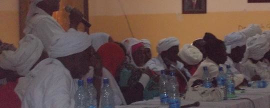
The Rizeigat tribe of East Darfur has reaffirmed its commitment to the 1924 agreement on the Samaha area, a stretch of land between Darfur and South Sudan south of the River Kiir/Bahr El Arab. The tribe’s leader argues that the 1924 Samaha Agreement proves that the area falls within the territory of northern Sudan. The territory was also referred to in recent press reports as ‘Mile 14’.
Mohamed Issa Aliyu, the chief of the shura council of the Rezeigat, stated that a map discussed by negotiators at the Addis Ababa talks was inaccurate and that there is no historical reference showing the border of Bahr El Ghazal region to be at ‘line zero’ – that is, at the river itself. He added that he spoke with the African Union mediator Thabo Mbeki and clarified to him that natural border is along Mile 14.
The 1924 ‘Samaha Agreement’ was an understanding between two British district commissioners to delimit the boundary of the Rizeigat dar (homeland) in order to reduce hostilities between them and the neighbouring Dinka Malual to the south. The commissioners agreed that the Rizeigat dar reached to 14 miles (22 km) south of the River Kiir/Bahr El Arab. The decision came to be known as the Munro-Wheatley Agreement or Samaha Agreement.
Ever since 1924, the border has appeared on maps according to the Munro-Wheatley line rather than the river. Nonetheless, South Sudan claims the area and occupies it with its army.
According to Mohamed Issa Aliyu, the border demarcation is necessary for future generations, and the issue is a ticking bomb. But he said that whatever is agreed upon at the Addis Ababa talks, it will not hinder intermingling in the border region, even if Samaha ultimately falls under the Dinka Malual.
On 18 September, a delegation from the Rizeigat provided documents and maps relating to Mile 14 to Abdel Rahim Mohamed Hussein, the head of Sudan’s security committee at the negotiations.
At that time, the head of the parliamentary caucus of East Darfur MPs, Nour Eldaeem, also revealed that the maps which have been delivered to the negotiating team dated back nearly a century to prove that the area falls in northern Sudan and is not part of the disputed areas. He also asserted that South Sudan has no maps to prove its ownership over Mile 14.


